You are using an out of date browser. It may not display this or other websites correctly.
You should upgrade or use an alternative browser.
You should upgrade or use an alternative browser.
poor Google Earth views
- Thread starter Lowell
- Start date
The friendliest place on the web for anyone with an RV or an interest in RVing!
If you have answers, please help by responding to the unanswered posts.
If you have answers, please help by responding to the unanswered posts.
SeilerBird
Well-known member
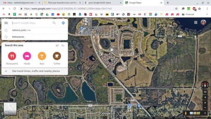
Mine looks good from that height too. But when I try to zoom down, it looses clarity. Before I could see repair lines in my street and identify that my Granddaughters VW bug was in my driveway. But now, the cars in the street are just blurs and it is even hard to identify that my vehicle is a pickup. The street view tool still works well when I move the little man to the center of the street in front of the house.
SeilerBird
Well-known member
") (for now :-[ )
(for now :-[ )Patnsuzanne
Well-known member
Coincidentally, I noticed the same thing just yesterday. Looking at our place, the image is newer than the last one that was available, but much less distinctive. In the previous image I could clearly see the house, shop and other outbuildings as well as my truck parked at a neighbor?s house where we were putting on a new porch. Now about all you can make out is the house and the yard shed. The shop, rv, etc are nowhere to be seen.
Old_Crow
Well-known member
The copyright date down in the corner is not the date of the image.
I looked at my place and I can see my wife's '54 Chevy panel truck, and our old 29' Sportscoach. We haven't had either of those vehicles in 2 years, even though the copyright date on the image is 2019. It is, however, a different image than the last time I looked. In the older one, you could also see my '61 F100 shop truck parked in it's spot. On this new image, I must be at work, because nothing is parked there.
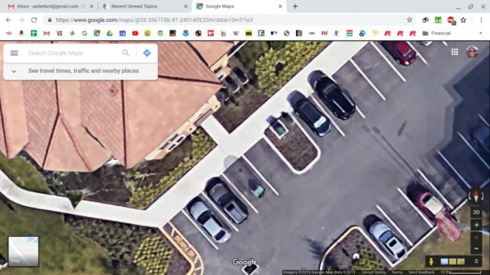
Yup, street view shows my truck parked at my shop. Can't see it from the air, just from street view.
I looked at my place and I can see my wife's '54 Chevy panel truck, and our old 29' Sportscoach. We haven't had either of those vehicles in 2 years, even though the copyright date on the image is 2019. It is, however, a different image than the last time I looked. In the older one, you could also see my '61 F100 shop truck parked in it's spot. On this new image, I must be at work, because nothing is parked there.
Yup, street view shows my truck parked at my shop. Can't see it from the air, just from street view.
Dreamsend
Well-known member
- Joined
- Aug 16, 2016
- Posts
- 614
Pretty sure Google Earth has undergone some updating in just the last few days, but resolution has not be affected as far as I can tell. One thing that has changed is that the "historical image data" - that used to automatically show up as a slider bar at the lower left, now has to be accessed by clicking an icon tab at the top. This has changed in just past 4 days. I've also noticed that the time it takes for the image to reach its best resolution is longer in past few days, but I just figured that was my internet connection, but it could be Google updating things as well. I've run into this in the past, as I've used GE for work and play for 8+ years now.
The IMAGERY DATE, not copyright date, is always shown at the lower right corner -- although you have to zoom to a certain level to get it to show up.
Most importantly, un-check any features in the SIDE BAR that you don't really need or have to use. Things like borders and labels, photos, 3D buildings, terrain, etc. This will improve the image quality. Especially make sure "terrain" is turned off as this does affect image quality. If you don't have the sidebar automatically showing up, click the icon (first one on the left) at the top to make it show, and be sure to un-check anything you don't need. The only thing I have checked is "roads". With Google updates, these settings can change, so it may be helpful to review those settings.
My version is Google Earth Pro, and I've had it so long I don't know if there is another version out there or not. Still free however.
Linda
It has been explained to me that part of the problem is what they do so the images can be tilted, like instead of looking straight down, you an "look" down at an angle. I've noticed it most in foliage, which started looking fake to me when looking straight down.
Jennifer Sidel
Member
- Joined
- Jul 16, 2019
- Posts
- 24
I mostly dislike below issue, which make me more demotivate.
It is a bit outmoded, that is, the satellite images are from 2 or 3 years ago around and depending on the computer used, it is often slow and protected as well!
It is a bit outmoded, that is, the satellite images are from 2 or 3 years ago around and depending on the computer used, it is often slow and protected as well!
blw2
Well-known member
I've noticed that at times when I have a poor internet connection that will happen to me. Looks like very poor resolution images...but usually there are other obvious issues along with that.
The other thing I was told a while back, is that the images they use are sourced from various places and stitched together. Often times, as I understand it, the images are sourced from that area's government.... the county (or city?) sources the aerial images for their GIS use... sometimes they don't pay to have high resolution if they don't need it for their purposes. Google is able to use it but they get what they get...
I'm speculating a bit, but it seems t me that often more rural areas, small towns, etc... will tend to have much lower res imagery than larger cities, more populated or wealthy areas, etc...
Arch Hoagland
Well-known member
Mine is poor quality now too, used to be fairly good.
Adjusting terrain did not help.
Adjusting terrain did not help.