Len and Jo
Well-known member
- Joined
- Apr 25, 2005
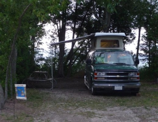
- Posts
- 1,442
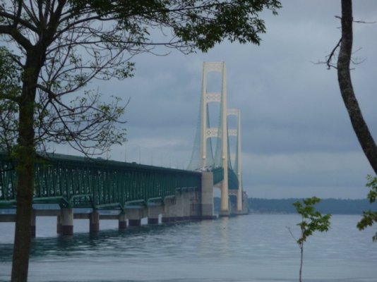
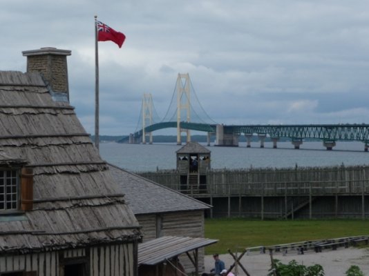
We took a two week trip around Michigan's Upper Peninsulas eastern half. We did visit some parks we have not been to before....just for fun and to satisfy our curiosity. We traveled counter clockwise starting at the Mackinaw bridge. Below is a picture log of our trip.
If you place your cursor on a picture the title will pop-up in a second or two.
First set includes:
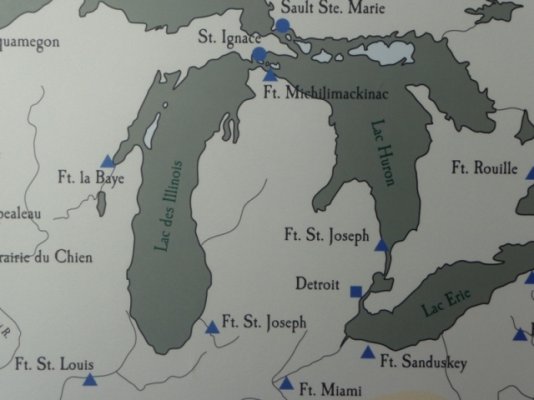
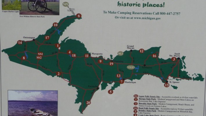
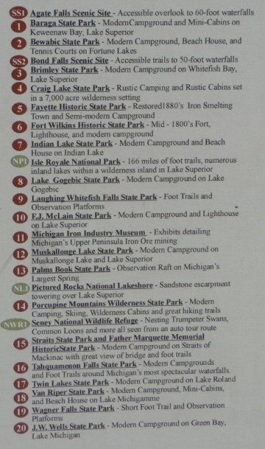
1 & 2: Picture of Michigan UP with State Parks listed.
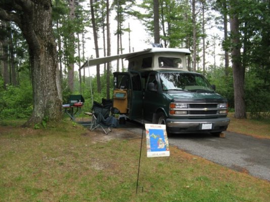
3: We spent the first night just south of the Mackinaw Bridge at Wilderness S.P. It is a pack them in S.P.
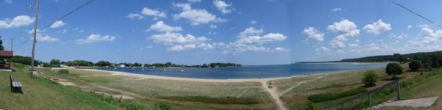
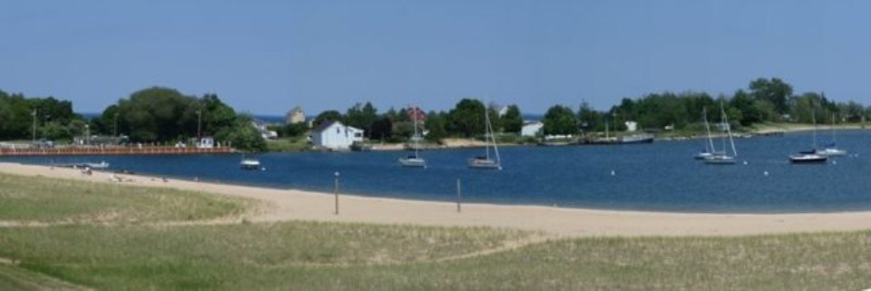
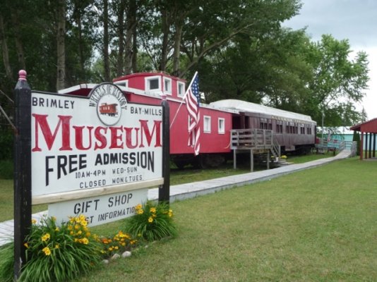
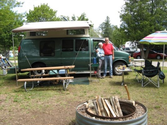
4 & 5 are at Brimley S.P. west of Sault Ste. Marie Brimley S.P. has about 400 camping sites in it. Some special ones for large rigs.
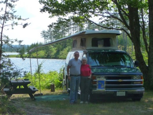
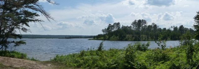
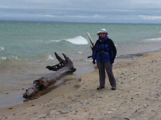
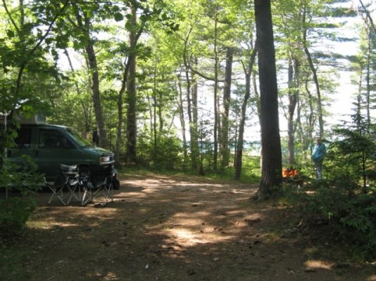
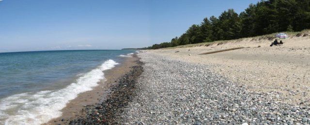
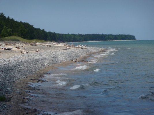
6 ? 10 we moved to a State Forest Campground that is on the shore of Lake Superior. The average S.F. campground in Michigan has less than 20 camping sites. This one has 18 sites and less than half were occupied while we were there. Very quiet and as can be seen you have the beach almost to yourself.
If you place your cursor on a picture the title will pop-up in a second or two.
First set includes:
1 & 2: Picture of Michigan UP with State Parks listed.
3: We spent the first night just south of the Mackinaw Bridge at Wilderness S.P. It is a pack them in S.P.
4 & 5 are at Brimley S.P. west of Sault Ste. Marie Brimley S.P. has about 400 camping sites in it. Some special ones for large rigs.
6 ? 10 we moved to a State Forest Campground that is on the shore of Lake Superior. The average S.F. campground in Michigan has less than 20 camping sites. This one has 18 sites and less than half were occupied while we were there. Very quiet and as can be seen you have the beach almost to yourself.
Attachments
-
 1 Michigan UP State Parks.JPG173.2 KB · Views: 28
 -
 2.JPG169.7 KB · Views: 17
 -
 3 Wilderness SP.jpg136.9 KB · Views: 39
 -
 4 Near Brimley SP.JPG222.9 KB · Views: 35
 -
 5 Brimley SP.jpg137 KB · Views: 27
 -
 6 Whitefish Pt.JPG181.9 KB · Views: 32
 -
 7 Camping at SF on Lake Superior.jpg152 KB · Views: 26
 -
 8 Lake Superior Beach.jpg40.2 KB · Views: 26
 -
 9 Lake Superior Beach.JPG149.6 KB · Views: 18
 -
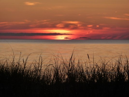 10 Lake Superior Sun Set.JPG174.5 KB · Views: 24