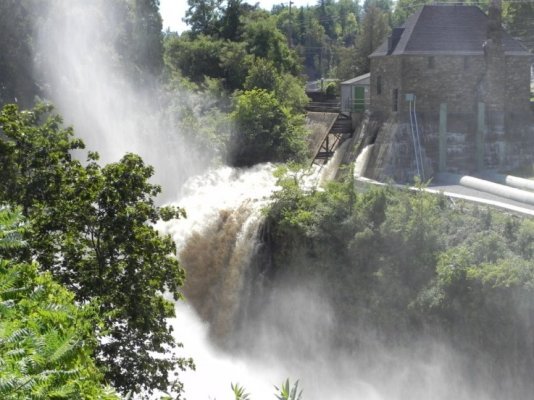
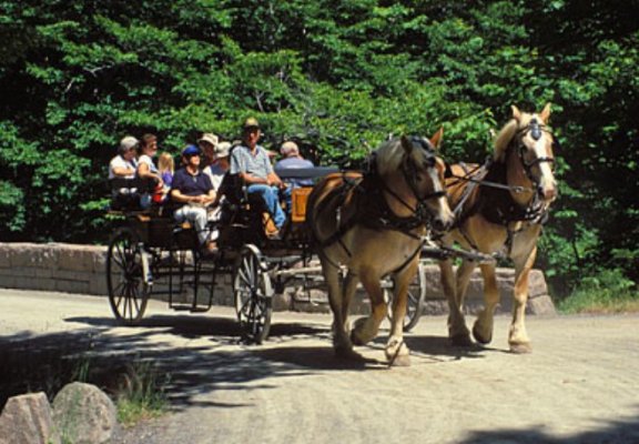
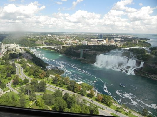
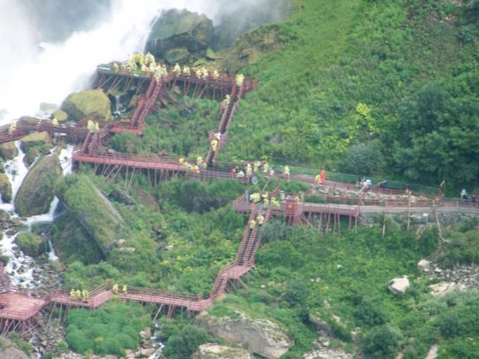
Aug 23-11 our last day at Niagara Falls today we went to both the NY and Ontario sides of the falls. Summertime in Niagara Falls NY is packed with free outdoor concerts, festivals and all kind of events. Most of today was spent on Goat Island there you have excess to Terrapin Point above the Horseshoe Falls, to the Cave of the Winds, Top of the Falls Restaurant, the Three Sisters Islands, Luna Island between the American Falls and the Bridal Veil Falls and the Rapids. We made all of them except Cave of the Winds and the Restaurant. Luna Island got its name because on full moon nights you used to be able to see moon bows. Since the flow over Bridal Veil has dropped the moon bows don't appear any more. But on sunny days you can see rainbows below the American & Bridal Veil Falls. Beautiful Niagara Falls is an experience that will last a life time. Wish that we could stay a few more days but the open road calls and we will leave tomorrow.
Attachments
-
 8-22-11 Towser Restaurant Neagara Falls Ontario .jpg118.1 KB · Views: 7
 -
 8-22-11 Whirlpool Jet Boat Niagara Falls Ontario .jpg140.7 KB · Views: 7
 -
 8-22-11American Falls & Niagara Falls NY taken fm Ontario .jpg145.6 KB · Views: 7
 -
 8-22-11Boardwalk to Cave of The Winds under American Falls taken fm Ontario side.jpg164.4 KB · Views: 6
 -
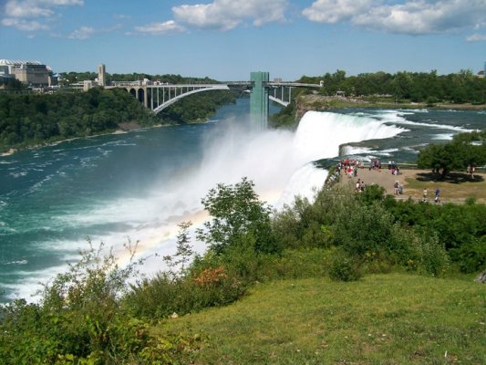 8-23-11 American Falls Fm. Goat Island New York .jpg171.6 KB · Views: 7
 -
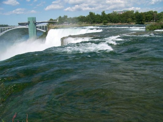 8-23-11 American Falls taken fm Luna Island NFSP.jpg133.7 KB · Views: 6
 -
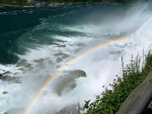 8-23-11 Niagara Falls Rainbow taken Fm Luna Island NY.jpg122.9 KB · Views: 9
 -
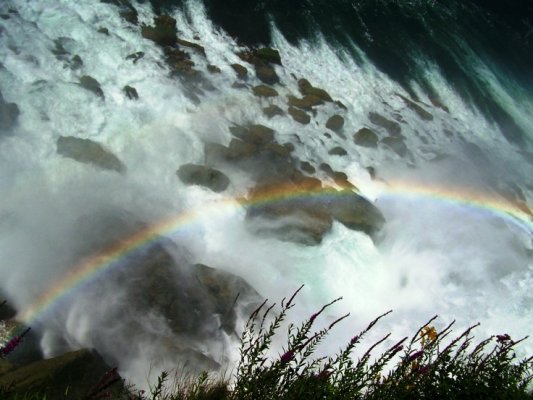 8-23-11 Rainbow below American Falls New York .jpg136.3 KB · Views: 6