Lorna
Well-known member
- Joined
- Mar 7, 2005
- Posts
- 1,183
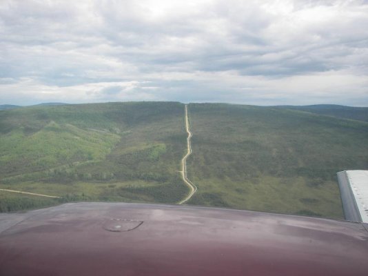
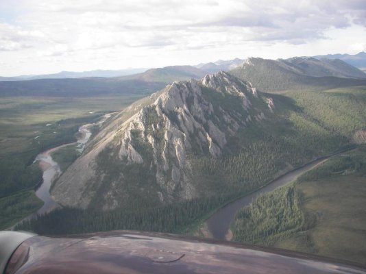
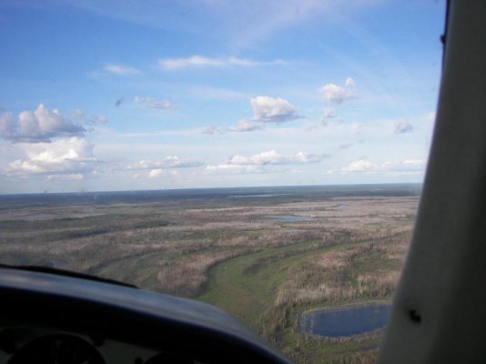
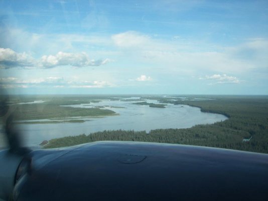
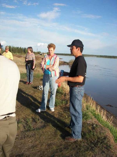
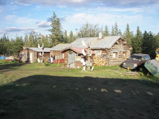
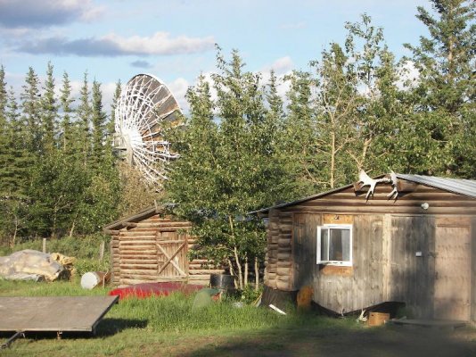
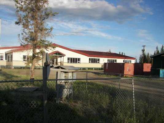
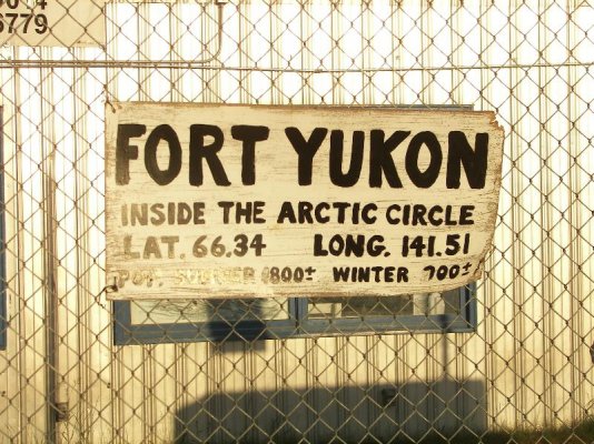
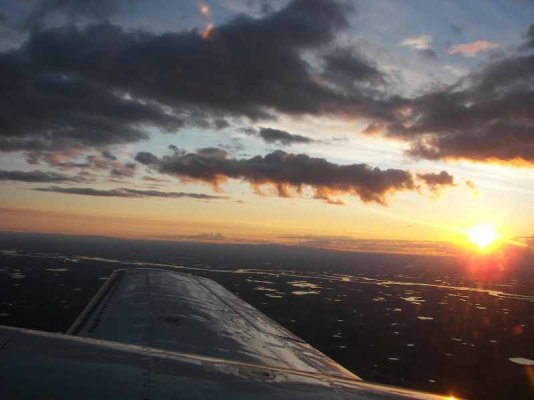
June 21, summer solstice, I boarded an eight passenger plane and flew to the Artic Circle to a village called Fort Yukon, the land of the midnight sun. Fort Yukon is one of the oldest settlements in Alaska, and the Gwich’in Athabascan Indians have lived in this area for centuries. On the way there we flew over the White Mountain range where we were able to view a herd of Dall Sheep and then part of the Yukon Flats National Wildlife Refuge: 8.6 million acres of wetlands, including more than 40,000 lakes. We also flew over the Alaska Oil Pipeline. Fort Yukon is located on the Yukon River which is the only place along the entire course of the river that it flows this far north. Upon arriving there we were met by an Athabascan native guide that showed us contemporary life in an Alaskan bush village. They are really into educating their young people, encouraging them to finish high school. Many of them go on to college and some even get masters degrees and this includes the girls, too. They are also teaching them their old traditions and the native language, which they were forbidden to speak by our government for many years. Fur trapping and fishing used to be the main form of income but that is not true now. They mainly do that today for their own personal use. The population in the village is 1800 in the summer and 700 in the winter. On the return trip we flew over the Fort Knox gold mine. The mine covers over 3800 acres and, at peak production, delivers $250,000 of gold each day. Fort Knox is the largest open pit gold mine operating in North America. This was a wonderful learning experience. When I returned to the coach at 1:30 am the sun was just setting. At this time of the year there is daylight for about 23 hrs.
See attached photos.
See attached photos.