Since there are health issues, you should keep in mind that Flagstaff is about 7,000 feet, and even Albuquerque (en route on I-40) is just over 5,000, with something over 7,000 in Tijeras Canyon just before ABQ. In fact, once near ABQ, you'll be spending most of your time along I-40 at 5,000 or higher, until near California. Phoenix is about 1500, but there's lots of high stuff before getting there.
So if altitude is a problem, I-10 is a better route west, once you're into New Mexico and states west.
But if altitude isn't a problem, then I-40 is a fine route. Just west of ABQ, about half way to Grants, is "Sky City," more properly Acoma Pueblo, which is a complete pueblo on a mesa, that is, up high, which gave it its nickname. Just a little past that is Grants, NM, sitting at the foot of Mt. Taylor, where you can see the malpais (Spanish for bad rock, or the lava there), with extensive lava beds even along the highway.
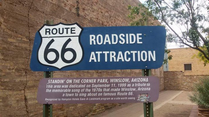
And in eastern Arizona you'll encounter the Painted Desert and the Petrified Forest national parks, plus Meteor Crater a bit further west. That's all before getting to Flag, a beautiful town. North of Flag, of course, is the Grand canyon. One nice way to get there is to stop in Williams, AZ, a bit west of Flag along I-40, and take the Grand Canyon Railroad to the canyon -- it's a very nice trip. You'll have about three hours before the train returns to Williams, but if you have reservations, you can also stay overnight (or more than one night) in the park and catch the return train another afternoon.