California Delta

The friendliest place on the web for anyone with an RV or an interest in RVing!
If you have answers, please help by responding to the unanswered posts.

Tom

Administrator
Joined
Jan 13, 2005
Posts
51,915
What's a 'slough'?

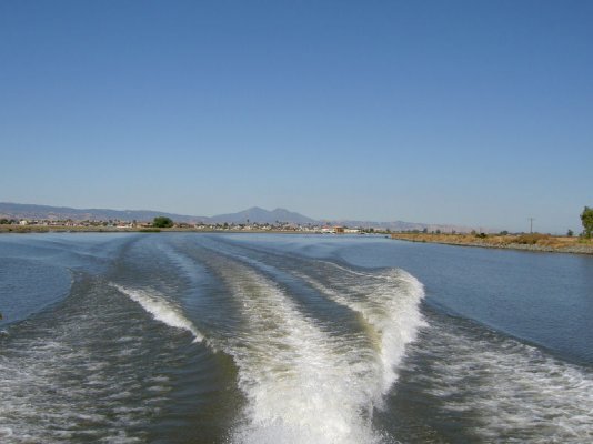
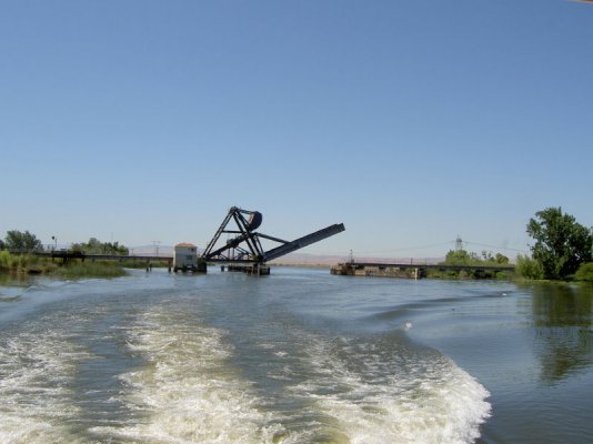
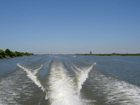
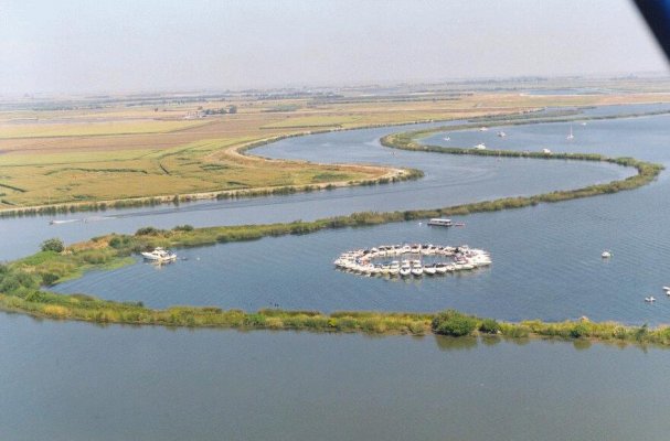
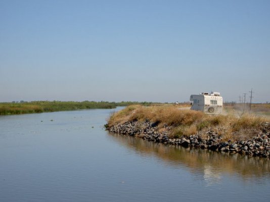
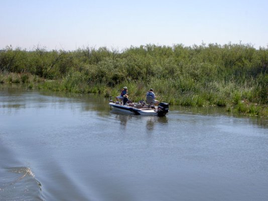
Steve, it's not quite the dictionary definition, but we use 'slough' to describe one of the hundreds of interlinking channels that form the California delta (aka the Sacramento/San Joaquin delta), in and around the confluence of the Sacramento and San Joaquin rivers as they flow down into San Francisco bay. See this  for a pictorial sketch - the blue bits are water  :)  The sketch shows only a fraction of the sloughs which together provide 1200 miles of waterway but, if you click on various areas of the sketch, it will bring up various sections of the navigation chart for the area.
 
Steve, a picture tells a thousand words. Attached are three photos I took on the way out today:

  • Indian Slough, the slough that leads into/out of Discovery Bay.
  • A few miles away on another slough, a railroad bridge (one of many Delta drawbridges) that had just opened for us to pass through.
  • San Joaquin river, the smaller of the two main delta rivers.
 

Attachments

  • IndianSlough.jpg
    IndianSlough.jpg
    70.9 KB · Views: 86
  • RRbridge.jpg
    RRbridge.jpg
    71.8 KB · Views: 70
  • SanJoaquinRiver.jpg
    SanJoaquinRiver.jpg
    65.9 KB · Views: 66
Here's a photo I took while fishing from the dinghy this morning - looking back down Hog Island Slough where we're safely moored for the weekend.
 

Attachments

  • HogIsSlough.jpg
    HogIsSlough.jpg
    72 KB · Views: 84
Arial view of one corner of Mildred Island. The island flooded some years ago when a levee broke, and now forms a popular anchorage. The group of boats is the annual "Circle of fun" raft-up of the Sea Ray Boat Club of Northern California, held on the Labor Day holiday weekend. In the background is Middle River that runs past the west end of the "island" and some of the farmlands of the San Joaquin Valley.

edit: fixed typo.
 

Attachments

  • MILDRED7.JPG
    MILDRED7.JPG
    67.4 KB · Views: 69
Solano county sheriff's boat.
 

Attachments

  • sheriff3.jpg
    sheriff3.jpg
    82 KB · Views: 68
Looks like the Amazon doesn't it? I took that photo up at Prospect Slough a few years ago.
 
A couple of RVs on levee roads. The van has stopped for some fishing, while the class C driver is still looking for his/her perfect spot.

Note that many levee roads on the CA delta are blacktop, although these photos show dirt roads. Roads into delta campgrounds listed in another topic are virtually all blacktop.
 

Attachments

  • Van-fishing.jpg
    Van-fishing.jpg
    49.2 KB · Views: 52
  • RV-on-levee.jpg
    RV-on-levee.jpg
    36.8 KB · Views: 55
Bacon Island bridge, crossing Middle River, has just opened to allow us through. This is a small road bridge for one of the dirt levee roads.
 

Attachments

  • Bacon_Isl_bridge.jpg
    Bacon_Isl_bridge.jpg
    42.8 KB · Views: 60
Tom said:
Bacon Island bridge, crossing Middle River, has just opened to allow us through. This is a small road bridge for one of the dirt levee roads.

Tom:

Does the bridge for the dirt road require an full-time bridge operator?
 
A couple of fishermen in search of bass on the CA delta.
 

Attachments

  • bass-fishing.jpg
    bass-fishing.jpg
    56.8 KB · Views: 49
Jeff /Washington said:
Does the bridge for the dirt road require an full-time bridge operator?

Jeff, some bridges are tended 24 hours while others are not. Check the photo for the answer to this one. There are alternate routes when some bridges, including this one, are closed. But others are your only way through.
 

Attachments

  • Bacon_Isl_hours.jpg
    Bacon_Isl_hours.jpg
    10.6 KB · Views: 50
Tom-
Sounds like you know the delta like the the back of your hand. 
When I first started going out on it a year ago I took someones advise and bought a GPS.  Boy am I glad I did.  Within 5 minutes of driving around you can get totally lost!  That place is a maze if I ever saw one!
 
Smart move to buy a GPS. We've boated on the Delta for 20 years or so. First time we ventured out, we didn't have a map or chart and GPS hadn't been invented. If you don't already have one, get a copy of Hal Schell's Delta Map, available at most bait/tackle shops and marinas around the Delta. You can also get it by clicking here. The map, although not for navigation purposes, gives you a great perspective on the Delta and contains lots of useful information on it, including fishing and boating tips.

Hal is a Delta legend, the original river rat. He lived on his boat on the Delta for many years and has been a prolific writer on life in the Delta. But I think that health problems eventually made him and his wife give up the river rat lifestyle.
 

Latest posts

Forum statistics

Threads
131,964
Posts
1,388,315
Members
137,718
Latest member
urnwholesaler
Back
Top Bottom