You are using an out of date browser. It may not display this or other websites correctly.
You should upgrade or use an alternative browser.
You should upgrade or use an alternative browser.
East coast to Utah
- Thread starter Neelie555
- Start date
The friendliest place on the web for anyone with an RV or an interest in RVing!
If you have answers, please help by responding to the unanswered posts.
If you have answers, please help by responding to the unanswered posts.
SeilerBird
Well-known member
SeilerBird
Well-known member
I have not heard of bridges that were low. Which ones are you talking about?Thank you so much. We understand that our fifth wheel is too tall for some of the bridges along the way. Will this route bypass them?
X-Roughneck Strike 3
Well-known member
I am going to agree with Tom on the route for the most part.
You must go to "Monument Valley." Gouldings has a RV Park at MV. Mexican Hat and Forest Gump Highway is near by, once you see the park.
I would come in across the US like Tom suggests, but I would take 24 to Hanksville, South off of IH 70 and take scenic Highway 12 to Capital Reef and Bryce.
You're going to Loop anyway so no matter what route you pick, Include Highway 12 which runs thru Sunrise, and Kanab Utah. 12 is a very beautiful road.
Bryce is a Beautiful Park! One of my Favorites so far. We did not go to Zion on our trip and there is alot of chatter on how beautiful that park is also, but something about a tunnel and waiting to enter, so we passed, as we went in June 2020.
Scenic Highway 12 is very beautiful. I took my 32' Class C towing my 4 Door jeep Wrangler (51' bumper to bumper) leaving Bryce to Moab/Arches. Scenic Highway 12 is Beautiful Road, not real scary. Peaks out at Sunrise Utah around 9000'. Again the road is safe, but has some steep grades on it. I suggest you, Go For it.
JD
Last edited:
Bugford
Well-known member
There are travel apps available that will show you low clearances. Some are free and others are just a few bucks. I use ParkAdvisor.Thank you so much. We understand that our fifth wheel is too tall for some of the bridges along the way. Will this route bypass them?
X-Roughneck Strike 3
Well-known member
I have the Garmin 770 RV GPS. Good investment as you can plug in the dimensions of your RV, and the app will take your unique dimensions in route planning.
Also, I might add out in The MV and Grand Canyon area, the Cell phone service is Sketchy. Nice to have a Garmin on the dash to hit those Free satellites in the air for positioning.
Make sure if you are going to use cell phone as your map, download the route before you go....as might see,.. "No Service" on your cell phone while passing thru some area out west.
Hopefully you have a good Cell phone provider also.
Utah is Spectacular!
JD
GoBeautifulPlanet
Active member
I made videos of some of the hikes in the Utah parks, in case you are interested.
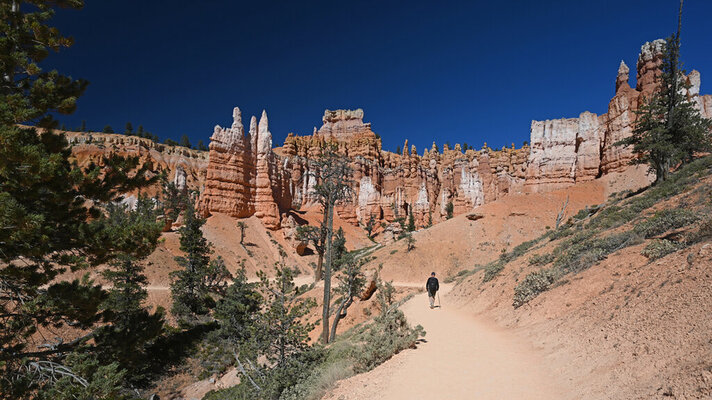
Bryce: Peek-a-boo
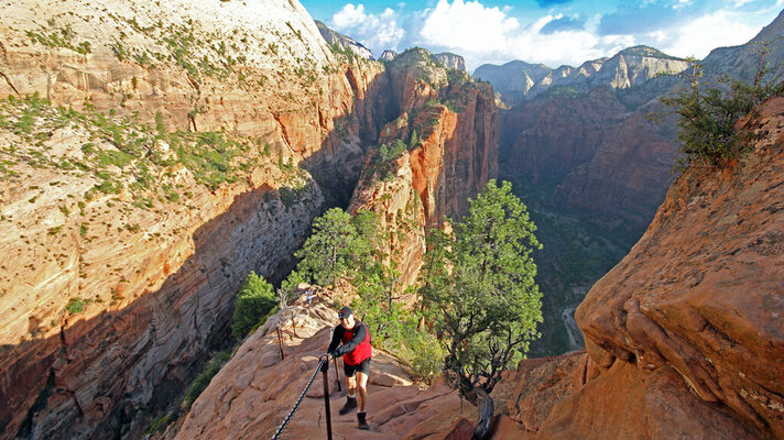
Zion: Angel's Landing
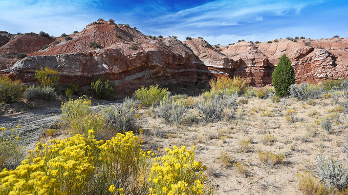
Grand Staircase: Zebra
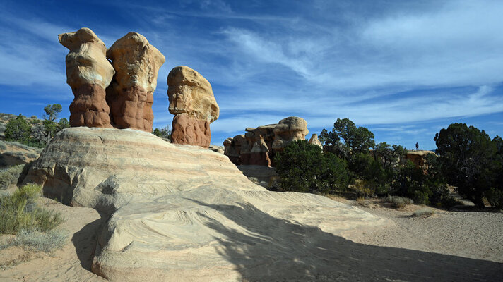
Grand Staircase: Devil's Garden
Hiking, Scrambling in the Devil's Garden, Grand Staircase Escalante, Utah
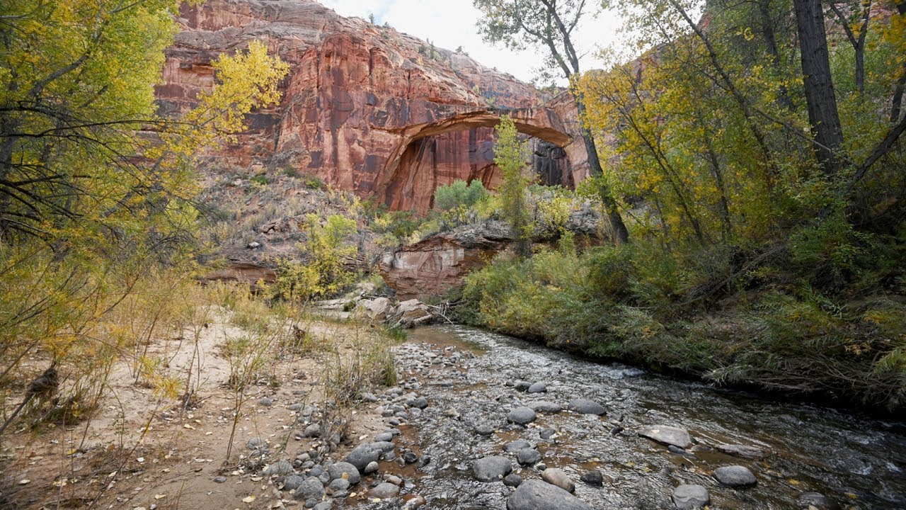
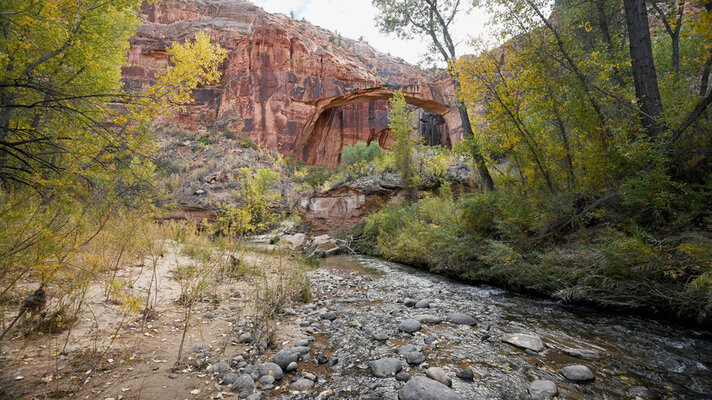
Grand Staircase: Natural Bridge
 youtu.be
They are also on my YouTube channel, Go Beautiful Planet. We were in our 29-ft RV, trailing our car.
Bryce: Peek-a-boo

Zion: Angel's Landing

Grand Staircase: Zebra

Grand Staircase: Devil's Garden
Hiking, Scrambling in the Devil's Garden, Grand Staircase Escalante, Utah

Grand Staircase: Natural Bridge

Hiking to Natural Bridge, Grand Staircase Escalante, Utah
Escalante Natural Bridge is a 4.4 mile (7 km) out and back trail near Escalante, Utah. Most of the trail is flat and sandy, and there are five shallow river ...

They are also on my YouTube channel, Go Beautiful Planet. We were in our 29-ft RV, trailing our car.
SeaBreezer
New member
I agree with not missing Hwy 12. The pics and dash cam footage we got were just amazing. Yes, it's steep and winding, but we had no problems with our 35' Class A V-10 and toad, total length of 53'. Bryce was our favorite NP of the 13 we hit on our 2 month trip. Never saw any bridges to worry about, just the Zion tunnel, which was not a problem. Its the RV trip that sets the bar very high for the ones that follow.
SeilerBird
Well-known member
If you enjoy hiking then Zion is the place to go. Angel's Landing and the Narrows are two of the best hikes I have been on.

