Telemark46
Well-known member
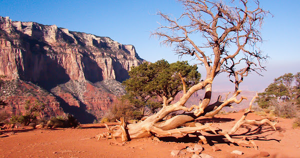
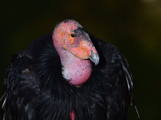
Reading other discussions, it seemed that Hwy 90/46 drew some comparisons to the Ouray to Durango drive, so more info would be appreciated. We will be heading from Montrose to the area of Canyonlands South unit ca. 4/26 or 4/27 in a half-ton pickup (baby diesel) with a 24.5' (overall) trailer. We have talked ourselves out of taking the trailer up from Durango to Ouray and Montrose, although reading other posts, I'm sure it wouldn't be a terrible experience. We'll daytrip from Montrose to Durango, perhaps making a loop via Dolores. After a few days in SE Utah, we will be looking for someplace to camp near Navajo Bridge, hoping for good looks at the Condors.