Smoky
Well-known member
Vermont Log
June 15
We woke up to excellent weather, so decided today to make our dash to Vermont, for just one day of New England exploration. Our plans to explore all of New England gradually had dissolved over the last two weeks due to constant rain.
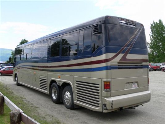
Before going any further, let me say at the outset, that we found no state roads in Vermont that would give a 40 foot motor any trouble other than the expected narrow route through Smuggler?s Notch. After talking with locals and other migrating motorhomers throughout northern Vermont, we feel pretty confident that the major state roads (we are talking smaller than Interstate such as route 2, route 100, route 7, route 15, US Route 302, Route 104, etc are wonderful roads for getting off the Interstate and exploring Vermont. Even the ones crossing the mountains. And 18 wheelers are all over those state roads. We are keeping an eye, of course, on bridge clearances. Not only do we use a trucker Atlas, but we also downloaded the bridge clearance locations from the Discovery forum and imported them into our MSFT Streets software.
In 2007, instead of spending 2 weeks in the Adirondacks, which we really enjoyed greatly, we will spend that same 2 weeks exploring New Hampshire and Maine. We will take the same route skirting NYC by going up central PA and then over Rouse?s Point into Vermont, then settling on Route 2 all the way across to Maine, thus avoiding as much Interstate travel as possible.
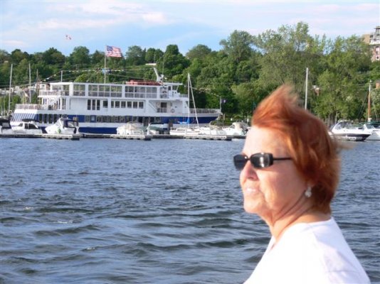
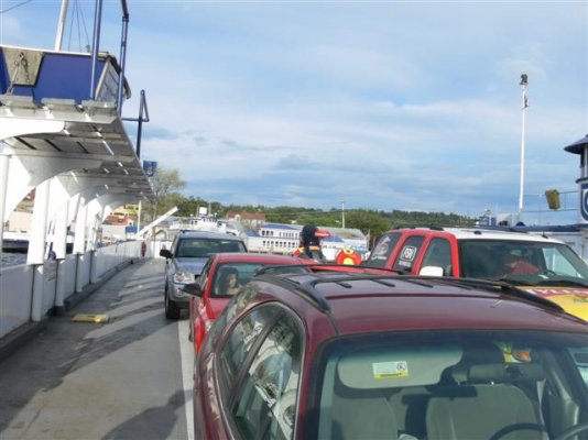
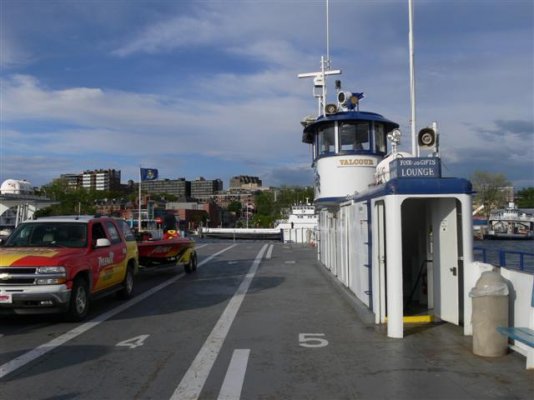
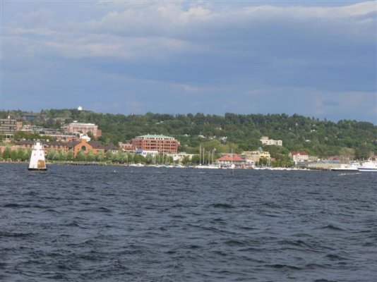
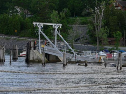
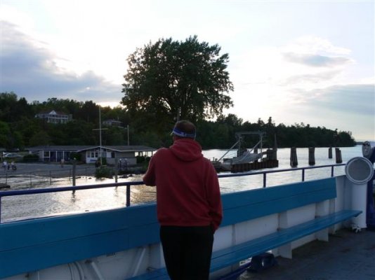
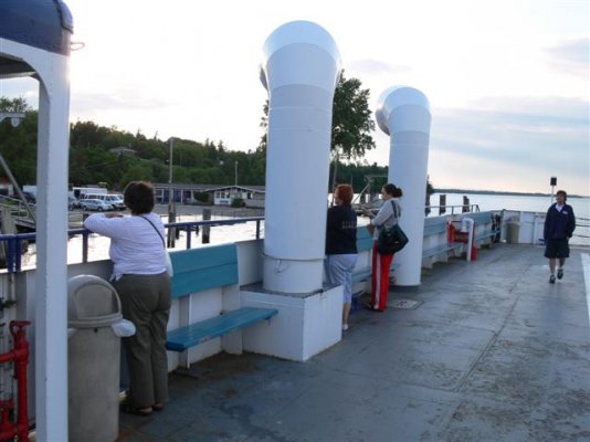
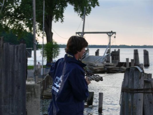
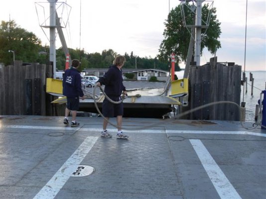
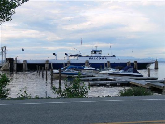
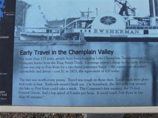
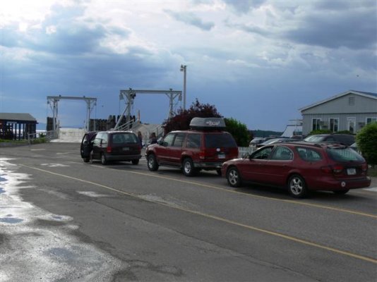
We decided to enter Vermont via Rouse?s Point at the top of Lake Champlain, and then return to New York via the Champlain Ferry from Burlington to Port Kent. Happily, Port Kent is just 15 minutes from our campground.
The first leg of our trip took us down Route 7 and then on toroute 104 through Fairfax and into Jeffersonville. Such lovely country.
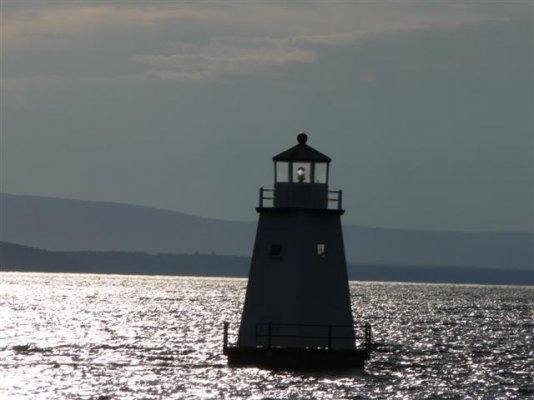
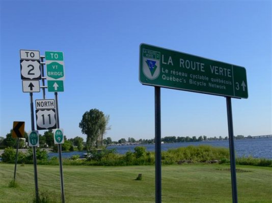
The first picture you see will be the Rouse?s Point New York side before crossing the bridge over northern Lake Champlain into Vermont. I remember this point from the year 2001 when I took my boat up the Chesapeake, through the Delaware River, across to Cape May NJ, up the Atlantic Coast to NYC, into the Hudson River, through the 13 locks past Albany, into Lake Champlain, and on up to the top of the Lake where the Richelieu River begins.
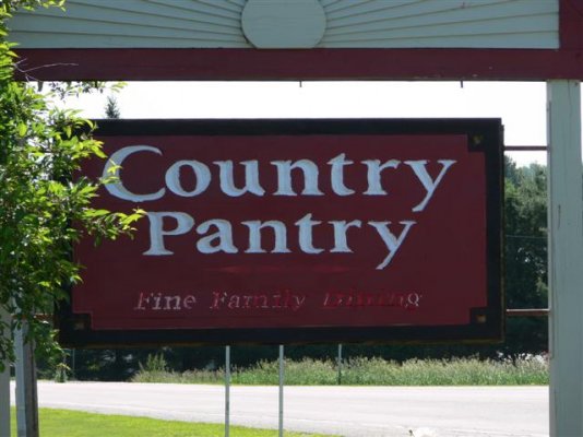
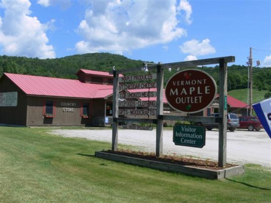
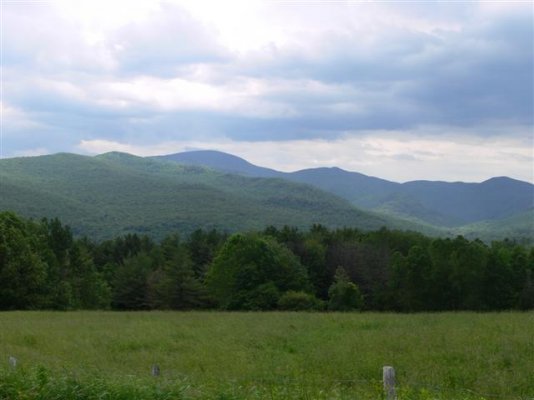
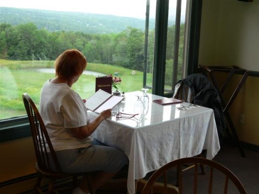
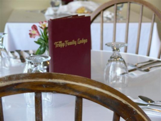
On the other side, in Vermont, we picked up VT Route 7 and took it through the lush, hilly Vermont countryside down to St. Albans where we picked up route 104 heading east. In Fairfax we stopped at a lovely little diner (photo) and we highly recommend it for inexpensive delicious dining. It must be popular. It was nearly full in mid morning, and the receptionist was taking reservations for dinner. The list was already long and this was on a Thursday.
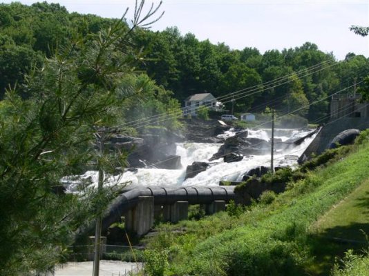
On the way to Jeffersonville we passed a waterfall/power plant. How much was natural, and how much was engineered, I could not tell. But it was photogenic.
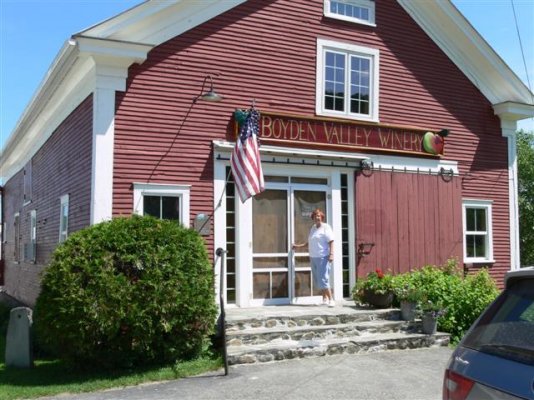
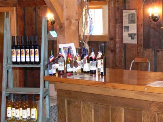
Next stop near Jeffersonville was the Boyden Valley Winery. Laugh if you will, the Admiral and I have taken a great love of local berry wine companies and this was one of the better ones. Their Gold Leaf is pricey at $25 a bottle but the taste worth it. Most bottles came in at the $8 to $10 range. We ended up walking out with 4 bottles.
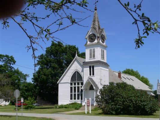
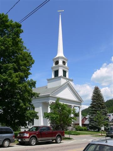
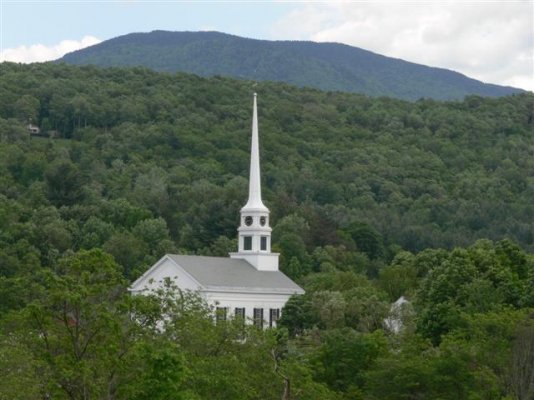
Also in Jeffersonville was a typical New England architecture church. This is the first of many church photos I was taking that day. I love this FZ30 camera. I went wild this day, totaling 295 photos and a nearly full 1 gig card by the time I returned.
We have more pictures coming this evening and more adventures to relate.
Stay tuned!
June 15
We woke up to excellent weather, so decided today to make our dash to Vermont, for just one day of New England exploration. Our plans to explore all of New England gradually had dissolved over the last two weeks due to constant rain.
Before going any further, let me say at the outset, that we found no state roads in Vermont that would give a 40 foot motor any trouble other than the expected narrow route through Smuggler?s Notch. After talking with locals and other migrating motorhomers throughout northern Vermont, we feel pretty confident that the major state roads (we are talking smaller than Interstate such as route 2, route 100, route 7, route 15, US Route 302, Route 104, etc are wonderful roads for getting off the Interstate and exploring Vermont. Even the ones crossing the mountains. And 18 wheelers are all over those state roads. We are keeping an eye, of course, on bridge clearances. Not only do we use a trucker Atlas, but we also downloaded the bridge clearance locations from the Discovery forum and imported them into our MSFT Streets software.
In 2007, instead of spending 2 weeks in the Adirondacks, which we really enjoyed greatly, we will spend that same 2 weeks exploring New Hampshire and Maine. We will take the same route skirting NYC by going up central PA and then over Rouse?s Point into Vermont, then settling on Route 2 all the way across to Maine, thus avoiding as much Interstate travel as possible.
We decided to enter Vermont via Rouse?s Point at the top of Lake Champlain, and then return to New York via the Champlain Ferry from Burlington to Port Kent. Happily, Port Kent is just 15 minutes from our campground.
The first leg of our trip took us down Route 7 and then on toroute 104 through Fairfax and into Jeffersonville. Such lovely country.
The first picture you see will be the Rouse?s Point New York side before crossing the bridge over northern Lake Champlain into Vermont. I remember this point from the year 2001 when I took my boat up the Chesapeake, through the Delaware River, across to Cape May NJ, up the Atlantic Coast to NYC, into the Hudson River, through the 13 locks past Albany, into Lake Champlain, and on up to the top of the Lake where the Richelieu River begins.
On the other side, in Vermont, we picked up VT Route 7 and took it through the lush, hilly Vermont countryside down to St. Albans where we picked up route 104 heading east. In Fairfax we stopped at a lovely little diner (photo) and we highly recommend it for inexpensive delicious dining. It must be popular. It was nearly full in mid morning, and the receptionist was taking reservations for dinner. The list was already long and this was on a Thursday.
On the way to Jeffersonville we passed a waterfall/power plant. How much was natural, and how much was engineered, I could not tell. But it was photogenic.
Next stop near Jeffersonville was the Boyden Valley Winery. Laugh if you will, the Admiral and I have taken a great love of local berry wine companies and this was one of the better ones. Their Gold Leaf is pricey at $25 a bottle but the taste worth it. Most bottles came in at the $8 to $10 range. We ended up walking out with 4 bottles.
Also in Jeffersonville was a typical New England architecture church. This is the first of many church photos I was taking that day. I love this FZ30 camera. I went wild this day, totaling 295 photos and a nearly full 1 gig card by the time I returned.
We have more pictures coming this evening and more adventures to relate.
Stay tuned!
Attachments
-
 vermont15jun06004 (Small).JPG42.9 KB · Views: 36
 -
 vermont15jun06007 (Small).JPG52.2 KB · Views: 29
 -
 vermont15jun06010 (Small).JPG76.9 KB · Views: 28
 -
 vermont15jun06024 (Small).JPG79.1 KB · Views: 25
 -
 vermont15jun06031 (Small).JPG65.8 KB · Views: 28
 -
 vermont15jun06035 (Small).JPG67.3 KB · Views: 26
 -
 vermont15jun06047 (Small).JPG58.5 KB · Views: 30
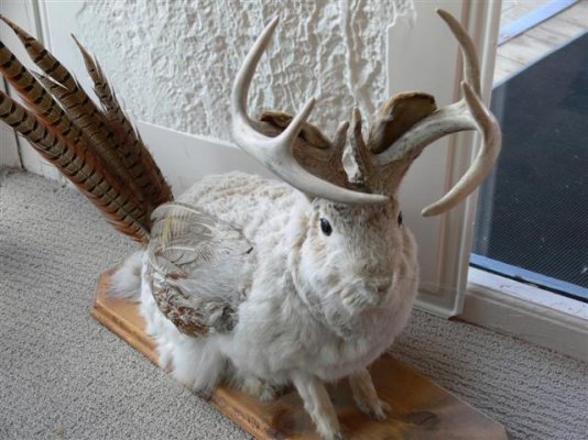

") The home of the Jackalope is Douglas, WY, where Lucy and George Akers used to live. There's a huge statue of the elusive critter in town. They are very difficult to capture either live or on film
The home of the Jackalope is Douglas, WY, where Lucy and George Akers used to live. There's a huge statue of the elusive critter in town. They are very difficult to capture either live or on film