Tom
Administrator
- Joined
- Jan 13, 2005
- Posts
- 51,935
... come to find out gpx files are not allowed
What's a GPX track/file? Sounds like a GPS-generated file (?) If I know what they are, maybe I can enable them here.
... come to find out gpx files are not allowed
bajarat said:This is a screenshot of the cell that hit the campground at 11:30 last night,
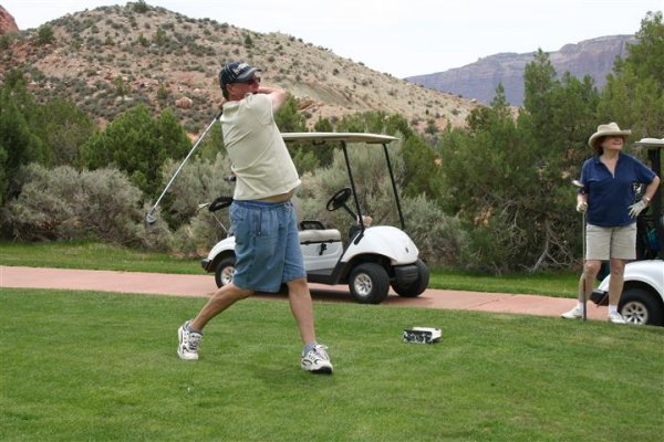
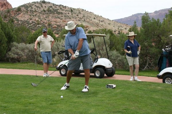
Andrea and Gary
")
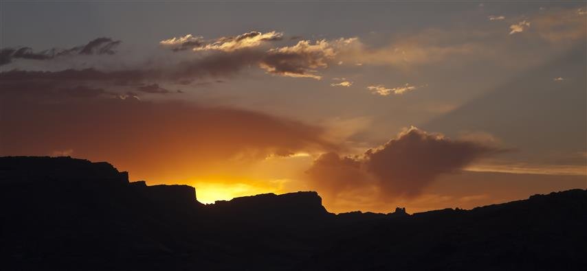
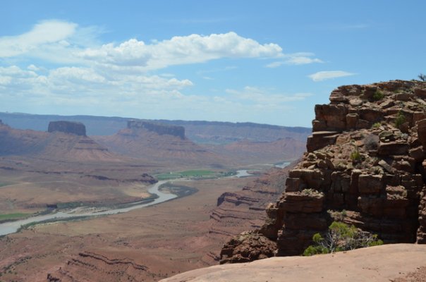
Wendy said:Where is Dome Plateau ?
Tom said:What's a GPX track/file? Sounds like a GPS-generated file (?) If I know what they are, maybe I can enable them here.
Wendy said:Where is Dome Plateau ?