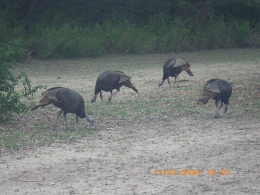
Bentsen-Rio Grande Valley State Park

The friendliest place on the web for anyone with an RV or an interest in RVing!
If you have answers, please help by responding to the unanswered posts.
Interesting and different view of the Rio Grande river, I'm not used to seeing it like in your photo.
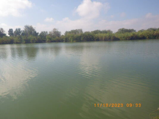
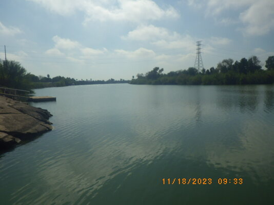
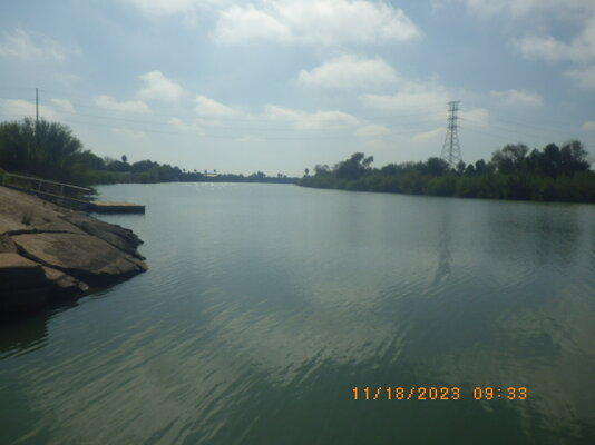
That is because it is NOT. I screwed up there by assuming it was the Rio Grande River. The RGR cannot even be seen anywhere in the park, even though the Rio Grande Trail gets very close to it. But the brush is so thick in that area there is no reasonable way to get close enough to see the Rio Grande River.

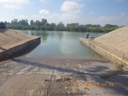
This "river" below is really the La Parida Banco. And both sides are in the USA. It's not a river at all, but a lake in a backwards "C" shape when I check my maps.

rgr2-jpg.168981


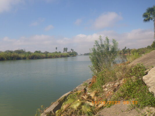
But I did go the real Rio Grande River. It's at the end of the Chimney RV Park a few miles from here.

Here are photos of the real true, no doubt, Rio Grande River with Mexico half way across the river:
RGR1.JPGRGR2.JPGRGR3.JPGRGR4.JPGRGRBR.JPG


-Don- Mission, TX
 
Last edited:
Here is a story you should read about using phones for hiking.

-Don- Mission, TX
Thanks Don. Not sure how that happened to them but I guess it could.

I use a hiking app rather than google maps. Actually I have a couple. One of them is called Atlas and isn't as good as my primary one. I can't locate it on my phone but I did change my phone a year or so ago so maybe I didn't reload it.

The good app used US Geological map data. It was pretty good especially on the elevations and so on.
 
Not sure how that happened to them but I guess it could.
I have also seen trails on my Delorme GPS that do not exist. Perhaps they did at one time, but no longer exist and are impossible to follow. So it can happen on more than the phones then a trail is unused for many years and all the vegetation grows back. The Delorme Topo maps show the most trails of any GPS. But in some areas, a few too many.

-Don- Mission, TX
 
That is because it is NOT. I screwed up there by assuming it was the Rio Grande River. The RGR cannot even be seen anywhere in the park, even though the Rio Grande Trail gets very close to it. But the brush is so thick in that area there is no reasonable way to get close enough to see the Rio Grande River.

Ahhh, that makes sense. Still, the La Parida Banco river looks very nice too -- quite tempting for me to pluck my kayak in for a swim...

Ray
 
I've found that AllTrails and OnX Backcountry are pretty good at reliably showing trails that are hike-able. OnX is really good for making sure I'm not trespassing on private property. I also use it to find Arizona Trust land to camp on since I have a permit for for it. Way less people that way. ; )

Ray
 
It was cold here this morning. "Cold" here means around 65F. Also was windy and rain could be coming again.

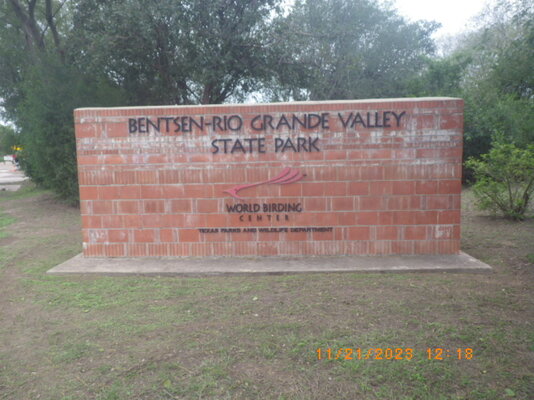
But I decided to take a hike here again:entsign.JPG
Too cold today to see much, also overcast. This park is mainly for the birds:

birds1.JPG
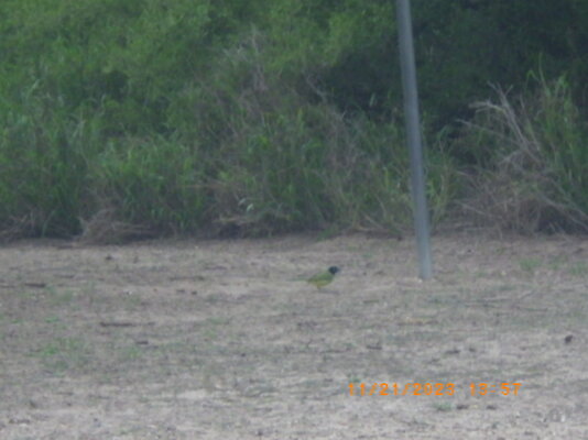
I don't think I have seen this little green bird with the black head before:
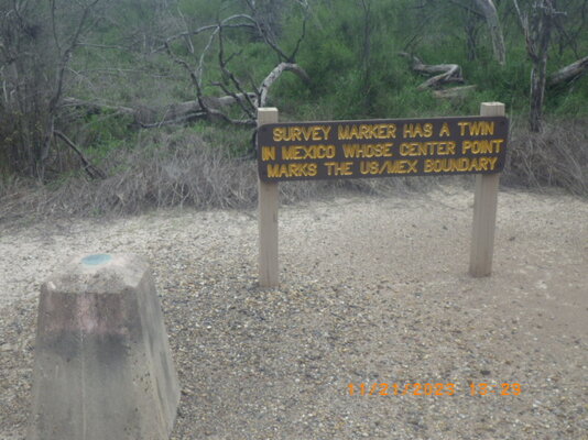
bird.JPGsmarker1.JPG

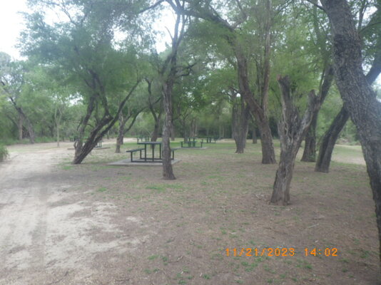
The picnic area inside the park:

picnicara.JPG
-Don- Mission, TX
 
Last edited:
That is because it is NOT. I screwed up there by assuming it was the Rio Grande River. The RGR cannot even be seen anywhere in the park, even though the Rio Grande Trail gets very close to it. But the brush is so thick in that area there is no reasonable way to get close enough to see the Rio Grande River.

This "river" below is really the La Parida Banco. And both sides are in the USA. It's not a river at all, but a lake in a backwards "C" shape when I check my maps.

Looking at the actual TPWD map of the park, I see what you mean.

That lake is a meandering cutoff of the Rio Grande, there are two of them that bound the park on the east and west sides (the map is turned with North to the right, confusing). The Hawk tower is adjacent to the one on the east. The Mississippi is full of cut offs like this

Charles
 
Last edited:
When we wintered at Donna, TX. we tried to get on the trip to see the wintering of Monarch butterflies in the Mexico mountains, but at that time there was turmoil in the area and the trips were cancelled.
We walked across the bridge into Progresso MX to shop, and on the MX end sat army jeeps with mounted machine guns and troops all around holding automatic rifles. DW asked if it scared me, I said nope, not as long as the army is here. A week later there was a gun battle in the streets of Progresso.
 

Latest posts

Forum statistics

Threads
131,990
Posts
1,388,717
Members
137,736
Latest member
Savysoaker
Back
Top Bottom