Weather forecasting

The friendliest place on the web for anyone with an RV or an interest in RVing!
If you have answers, please help by responding to the unanswered posts.

Ohiosnowbird

Well-known member
Joined
May 19, 2023
Posts
458
Location
Ohio
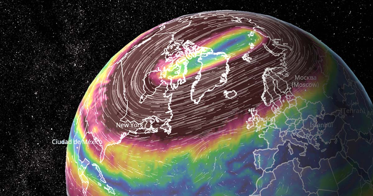
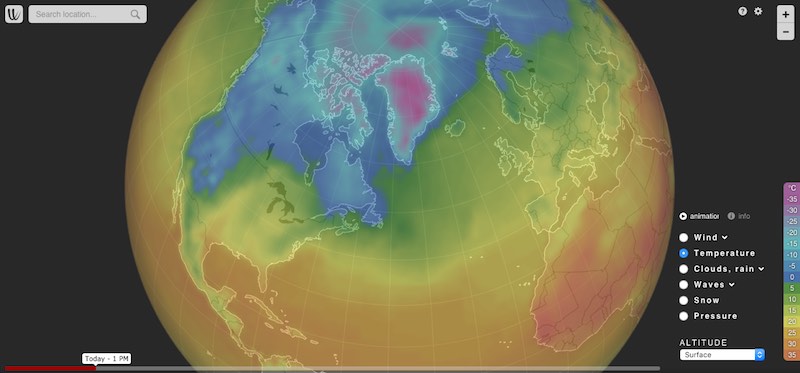
Does anyone use weatherbell analytics for accurate weather forecasting?


It seems the weather you can get just online is never right. We used to use weather underground


but ever since IBM bought them, they don’t do forecasting. They used to be pretty good.

It seems to us that just like in sailing, RVers need to be tuned into weather.
 
I tried weatherbug many years ago and my anti-malware went ballistic. Dumped it.
Today I daily visit the NOAA conus radar page... Though a good forecast is better
(And you can get NOAA's from links on the page I think
Here are two links I use the first one daily
CONUS Radar Map NOAA
And one of the best weather forecasts is the one we all pay for.
This is the link to their home page
 

is a good site for checking up to 10 days ahead for temps, clouds, precip and more.

In addition:


and various states have their own road condition reports, such as this one for Colorado:

 
Any of the weather services, on-line or over television, is good enough for us.

I use my laptop computer mostly and it has the weather app running all the time, so I have a constant updated temperature on the lower left corner of my screen. Same with my cell phone.

I have found, that no matter where the "weather" information is coming from, if going out much farther than just a couple days, things can easily be different than originally predicted.

The best any one can do is get a "feel" for what the next 7 to 10 days "might" experience. Shoot! Even when a hurricaine is heading toward the Gulf Coast or the East Coast, there is always a broad spectrum of where the eye "could" make landfall. It isn't until about 48 hours before that things really get narrowed down.

It's impossible to predict the future..... even with the best technology based on past historical patterns and trends!

All we can expect is a "near miss".... enough warning about a general event that we can prepare for those changes.
 
is a good site for checking up to 10 days ahead for temps, clouds, precip and more.
Windy.com got a good reputation from many predicting Idalia's path so I tracked that when there is any severe weather forecast. It did a really good job.

But my day to day go-to is the weather channel. On the road I use my phone/tablet for nav. If you hot switch into weather channel it will update to your current location which I think is a decent feature.

I use the radar a lot but as a pilot, like a bunch of guys here I dig into "classic maps" and use the surface maps to make my own determination of what might happen in the next 24-48 hours. For RV travel (aside from snow) the biggest thing I am trying to get a handle on is the winds.
 
Any of the weather services, on-line or over television, is good enough for us.

I use my laptop computer mostly and it has the weather app running all the time, so I have a constant updated temperature on the lower left corner of my screen. Same with my cell phone.
I can't do that. We can get some pretty rough weather here and when the storm comes pounding in, especially at night, I can't see or hear anything outside, and having satellite internet and TV reception it is the first thing to go out. So basically I'm flying blind with only my Wx radio to give me updates. I could use my phone to track it, but I really haven't figured out how to do that with any accuracy yet.
 
Weather.gov (NOAA/National Weather Service).

I like it because it's ad-free, no pop-ups, no app, just the weather, when you want it. Free weather apps are chunky and do all sorts of things on your phone they don't need to be doing, tracking, sharing, etc. With NWS, they have a great mobile site and I save a bookmark to my home screen (Apple). Just like an app, but, better.

Here's the setup if you're interested, works with non-Apple too:

 
With all the billions of dollars spent on weather forecasting, the only true way is to go outside and look. We had an overnight forecast of 1-2 inches of snow. Woke up this morning to a dusting.
 
The best any one can do is get a "feel" for what the next 7 to 10 days "might" experience. Shoot! Even when a hurricaine is heading toward the Gulf Coast or the East Coast, there is always a broad spectrum of where the eye "could" make landfall. It isn't until about 48 hours before that things really get narrowed down.

It's impossible to predict the future..... even with the best technology based on past historical patterns and trends!

This is why I was asking about weatherbell. These guys accurately reported when and where Ian was going hit Florida. We have farmer friends who use it in their ag operations and swear by it. I was just wondering with all the experience here, if anyone was using it for travel. They don’t list travel as an option. Maybe it’s too complicated for what we need?
 
This is why I was asking about weatherbell. These guys accurately reported when and where Ian was going hit Florida. We have farmer friends who use it in their ag operations and swear by it. I was just wondering with all the experience here, if anyone was using it for travel. They don’t list travel as an option. Maybe it’s too complicated for what we need?
They offer a lot. I am pretty confident of my own ability to prognosticate the weather as well as the average weather guy, based on the info from the US Weather Service website.
But I may give it a try, just to see what they have to offer.
 
All I know is TV stations pick their weather girl for her extensive meteorological skills, so just tune in there.
 
Weather.com and Weather Underground's forecasts are identical except the Weather.com 10 day forecast is actually 15 days, at least for us. I blend with Accuweather since they rarely match. The local TV channels are more accurate because they are influenced by locally experienced humans instead of computer algorithms.
 
The local TV channels are more accurate because they are influenced by locally experienced humans instead of computer algorithms.
And the quickest route to emptying your desk into a cardboard box is mucking up the local weather. People get serious about their local weather.
 
We look at our local road webcams before heading over the Rockies. There's really no good weather forecasting in the mountains due to no one lives up that high in altitude and the weather changes quickly. Can tell a lot just by looking at the CDOT (Colorado Department of Transportation) photos. This is our highway right now at approximately 11,000 feet in elevation. It's clear.
CO65032North.jpg
 
I use the Windy app for travel decisions. It allows you to see all kinds of forecasts including wind gusts in addition to just wind. And for all the forecasts (precipitation, new snow, etc.) you get your choice of two major forecasting approaches. We are heading southwest from Iowa in a week, so we just look at the two day forecast mostly. Iowa to Oklahoma City, then OKC to Albuquerque, then ABQ to Flagstaff, etc. We look at each big decision point to see if we can stay on I-40 or have to head south.

For local weather, I have had good luck with the apple weather app. It was awful when I first tried it years ago, but I gave it another chance a year ago when I heard of significant improvements. So far it is quite accurate.
 
Back
Top Bottom